Merstone to Horringford
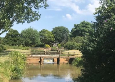
In this section we switch rivers. It’s goodbye to the Medina and welcome to the Yar. Confusingly there are two river Yars on the Isle of Wight. This Yar is the Eastern Yar and flows towards the coast at Bembridge.
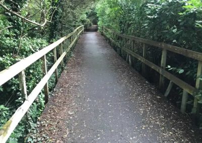
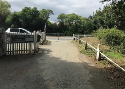
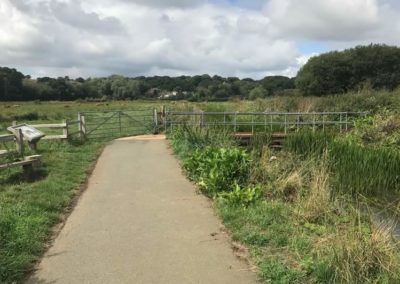
The route follows the Yar for most of the section. Towards the Horringford end it turns away from the river onto duckboards, before coming alongside the river again after crossing the main road at Horringford.
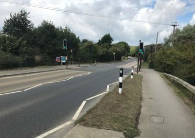
It is all off-road. There is a toucan crossing at Horringford end, where the route crosses the busy A3056.
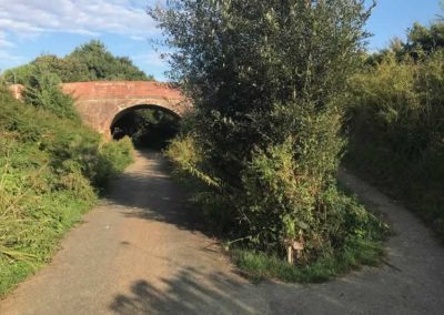
The turn-off for Godshill is not far after Merstone. It’s quite easy to miss the narrow path that leads up to the road, but look out for the bridge – see photo below.
East Lane bridge. This is where the turn-off to Godshill is – it’s very easy to miss!
East Lane bridge. This is where the turn-off to Godshill is – it’s very easy to miss!
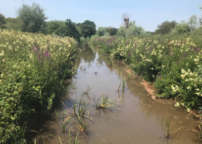
Raised duckboards near the Horringford end of the section.
Raised duckboards near the Horringford end of the section.
Horringford to Langbridge
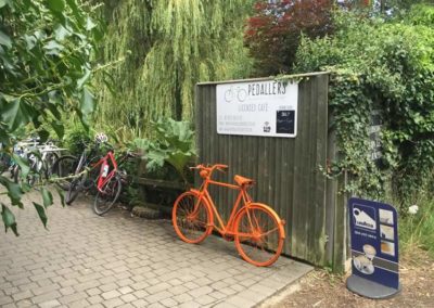
This short, quick, section continues to follow the route of the Yar. Pedallers Cafe at the Langbridge end is a popular and convenient stop for cyclists.
Langbridge is just on the edge of Newchurch, a short but steep detour off to the right from the cycle route.
Langbridge to Alverstone
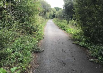
This section begins on a narrow path between houses but quickly opens out onto a wide, tarmacked cycle path through linear woodland across the River Yar’s floodplain.
Alverstone to Sandown
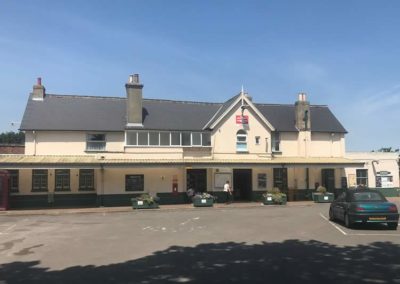
This section continues across the River Yar floodplain before entering Sandown to finish at Sandown Station.
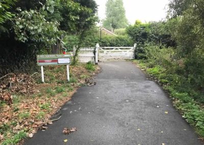
The start of the section in Alverstone goes along the edge of the Alverstone Meadows Nature Reserve. In the far corner of the field is the bird hide, from where you can see a wide variety of bird life and which is one of the best places on the Island for spotting red squirrels.
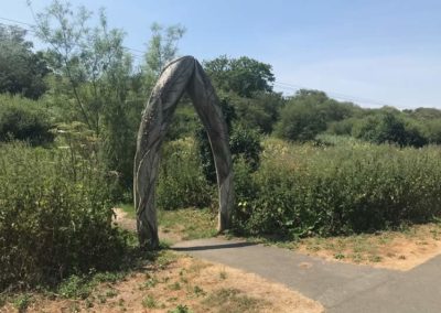
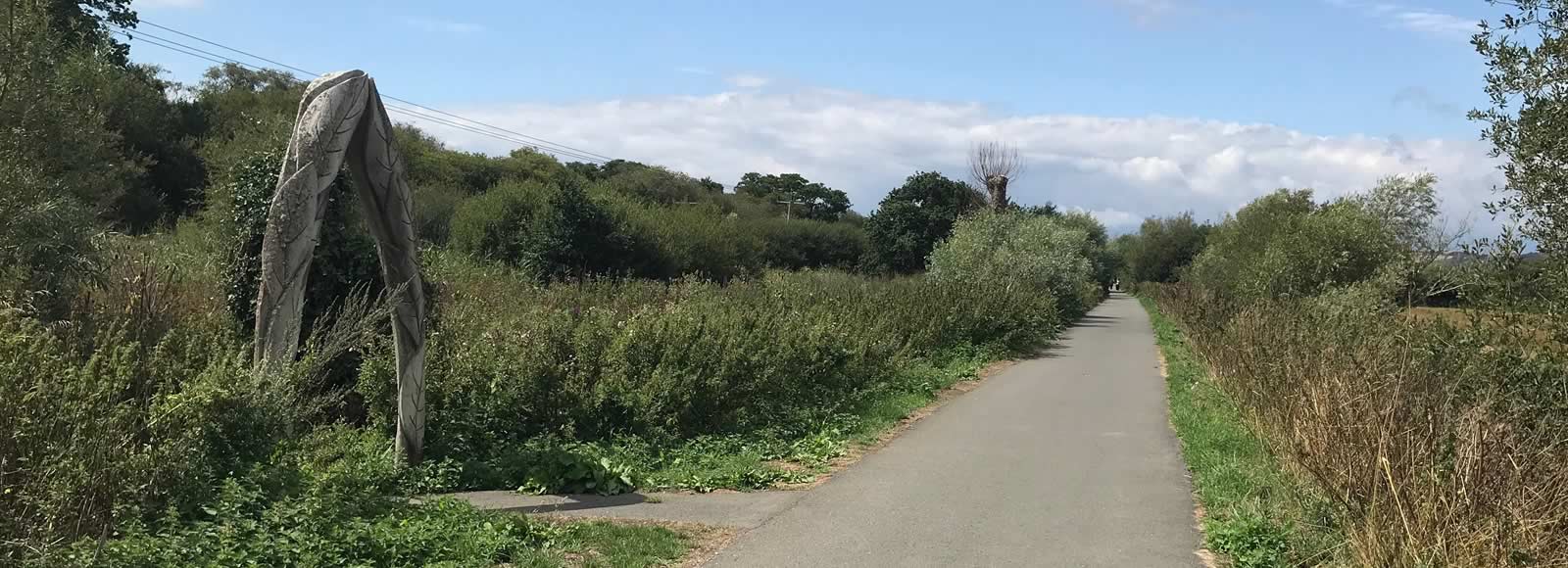
The arch at the other end of the section marks the entrance to the Sandown Community Orchard. As well as the orchard this site is also a mixture of wetland, woodland and a pond.
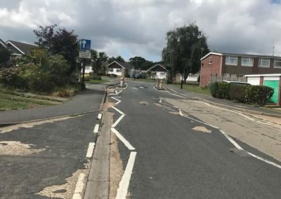
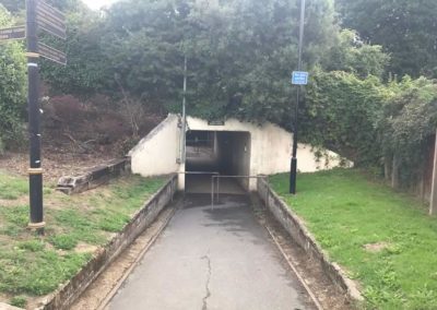
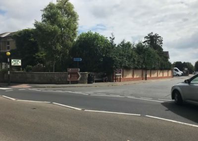
The cycle path goes through a holiday park before emerging in Sandown on Perowne Way. Turn right onto the road and follow it for 600m until you see the underpass that leads to Sandown Station.
Across Sandown
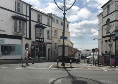
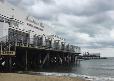
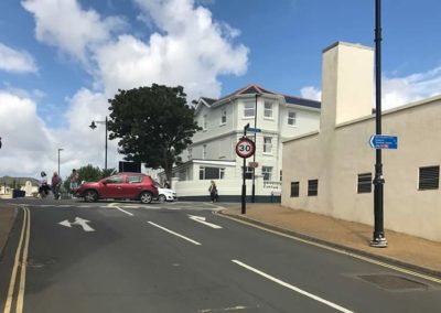
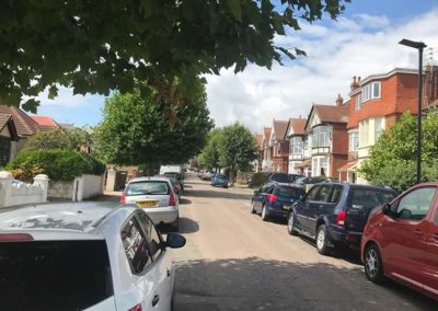
Due to the one-way system in Sandown, there are two routes for riding between Sandown Station and Sandown Pier.
Coming from the station is the shorter route: a quick downhill route through the centre of Sandown.
Going in the other direction is more circuitous, with a longer, gradual, climb.
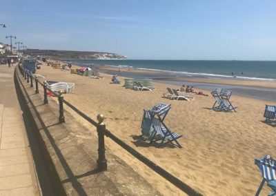
End of Esplanade, where the route starts climbing up to the station
End of Esplanade, where the route starts climbing up to the station
Distance: 9.6km (6mi)
Time: 26 – 45 minutes
Elevation: mostly flat, with a bit of a climb across Sandown.
Terrain: mostly wide and well-surfaced cycle path, but look out for root damage. Sections of roads in Sandown can get busy.

